Blood Rock 25K and 50K

Blood Rock 25K and 50K

Before you register, understand; The Blood Rock 25K and 50K will be tough. However, it is not as tough as past years. Plus, you will get to see most of the new Belcher Tract. That’s just about everything you see from King’s Chair.

Don’t try to set a PR. Enjoy the challenge.

The Race Starts at 7:00 AM, Saturday, December 7th, at the Redbud Pavilion.

The Blood Rock 25 & 55K races are Southeastern Trail Series Points races and take place at Oak Mountain State Park. Both races start and end at Redbud Pavilion. Both races will start at 7:00 AM Saturday. The course for both races will be the same for the first 15 Mile.

50K and 25K runners may not send drop bags to any aid station. You are welcome to leave dropbags at Redbud.

25K & 50K runners may not have a pacer. Please do not ask!

Blood Rock 50K - 31.61 Miles, 5,554ft. of Elevation GAIN - 14 Hour Cutoff
Blood Rock 25K - 4,010ft of Elevation GAIN - 9 Hour Cutoff

Race Shirt Cutoff - November 24th

IF YOU WANT A BLOOD ROCK RACE SHIRT YOU "MUST" REGISTER BY NOVEMBER 24TH.
The shirt order absolutely must go in on the 25th. Please register early to insure getting one of these really cool shirts.

THERE WILL BE NO LATE REGISTRATION

THERE WILL BE NO LATE REGISTRATION BEFORE THE FRIDAY OR BEFORE THE START SATURDAY MORNING.

Lodging and Camping at Blood Rock

There are 10 cabins located 600 yards from the Blood Rock Start. They may be rented through the park. There is a very nice campground 2 miles from the start. There are also several hotels about two miles from the south entrance to Oak Mountain State Park. Here is a Google Maps link to Area Hotels.

Blood Rock 50K and 25K Pace Chart

Blood Rock 50K and 25K Crew Access

Getting to Crew Accessible Aid Stations

The Dam Aid Station GPS Coordinates: 33.37358, -86.69481

Directions from the Start at Redbud Pavilion to The Dam - Leave the Aid Station location driving back out to Findley Drive, the main road through Oak Mountain State Park. Turn right on Findley and drive 3.2 miles. The aid station is on your left at the edge of the Lunker Lake Dam. Park in the large parking lot on your right. DO NOT park on the left by the aid station.

AID STATIONS OUTSIDE THE PARK

Summit Lake Aid Station GPS Coordinates for Summit Lake: 33.36838, -86.68162,

Directions from the Start at Redbud Pavilion to Summit Lake - Leave the Aid Station location driving back out to Findley Drive, the main road through Oak Mountain State Park. Turn right on Findley and drive 4.4 miles to the North Gate of Oak Mountain State Park. Turn right on Hwy 119 (Cahaba Valley Rd) and drove 3.2 Miles to Hwy 280, for a total of 7.6 miles. Turn right on Hwy 280 and drive 3.2 miles, over Double Oak Mountain and down the other side, to the North Shelby Baptist Church on your right. As you come down the mountain you will see the church on your right and turn on to Belcher Ln. which runs beside the church. DO NOT park in the church park lot. Continue straight ahead for about 1/3 mile to the large gravel parking lot on your left. It is a total of 11.1 mile to the parking lot. Park in the lot and walk back to Summit Lake.

PLEASE NOTE: If you leave the park to go to Summit Lake at night, the north gate is locked at 5PM. It will then be necessary to leave through the south gate and drove around the park to the southeast. See the second set of directions below. This route is 20.2 miles. You will pass the ”Train Station” location on the way.

HIKE TO SUMMIT LAKE: Walk back to Belcher Rd and turn left up the road. Walk past the closed iron gate and continue on the gravel road for 0.5 miles. At the “Y” the road splits and passes around Summit Lake on both sides. GO RIGHT at the split and back left at the road that follow the right side of the lake. You will see signs and flagging directing runners along the northwest shore of the lake. You may follow the gravel road to the aid station or the marked trail the runners are using. The aid station 0.31 mile further, or a total of 0.81 mile from the parking lot. It it’s late in the day, take a flashlight or headlamp!

Directions from the Start at Redbud Pavilion to The Trail Station - Leave the Aid Station location driving back out to Findley Drive, the main road through Oak Mountain State Park. Turn left on Findley and drive 4.0 miles and out the South Gate of Oak Mountain State Park. Continue to the traffic circle at 4.3 miles and continue straight ahead on CR33 for 0.4 mile to the stop sign at Oak Mountain Trail (CR35) and Turn left. Stay on CR35 for 1.9 miles to the left turn, staying on CR35 another 1/2 mile. At the signal light and intersection with CR 52, turn left again for exactly one mile. CR 50 “Ts” into Hwy 11. You will turn left on 11 so move to the left lane as you head up the long hill.

Turn left at the signal on Hwy 11 and continue for 5.6 miles. As soon as you cross the Railroad Tracks, turn right into the BP Gas Station on your right. Park along the outside edge of the parking lot close to CR 36. Do not park in front of the stores or Tacos El Paisano restaurant. There is room for 4 or 5 cars in a small parking area along Hwy 11, just the other side of the tracks from the gas station. Park there is space is available. From the station, first cross CR 36, then follow Hwy 11 facing traffic across the RR tracks. Be sure to check for trains before stepping onto the tracks. Some trains come through moving fairly fast. CR 11 is a busy road day and night. Be careful! When you reach a point directly across from the small parking area, cross over to your right and follow the gravel road down to the road angling right past the iron gate. Go past the gate and up the hill to the aid station located at the old house. Be sure to have a headlamp of flashlight if it getting dark

GPS Coordinates for The Trail Station: 33.32779, -86.70625

The Blood Rock 50K

2024 course Map

PLEASE NOTE: SUNSET ON DECEMBER 7TH IS 4:39 PM.

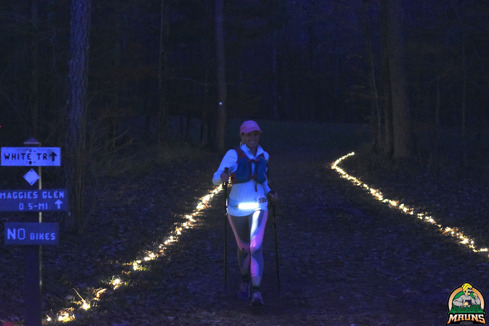
If you expect to need 8 hours to finish, that’s 3:00 PM, be sure to have a flashlight or headlamp stashed at Redbud or in your car. If you think you will need 9 hours or more, take a flashlight with you at the start.

2024 Blood Rock 25K Course

16.70 Miles - 2885 Elevation Gain

25K Elevation Profile